

(NORTHEAST INDIANA) - The National Weather Service is urging residents across northeast Indiana to prepare for a potentially significant round of severe weather Wednesday.
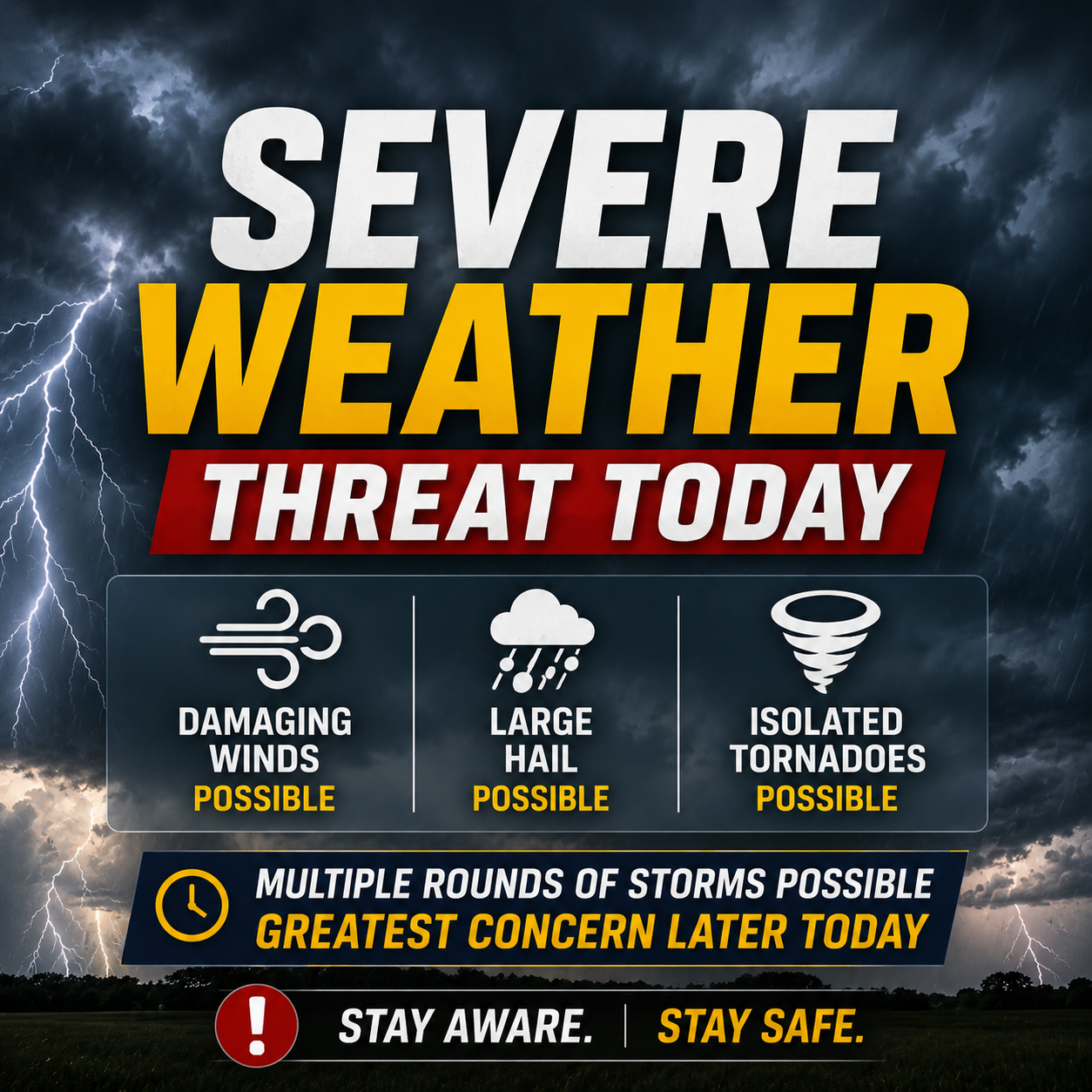
Much of the area is under a moderate risk for severe weather, a Level 4 out of 5 designation that meteorologists say is relatively uncommon.
Rachel Cobb, observing program leader and meteorologist with the National Weather Service in Northern Indiana, said damaging straight-line winds, large hail, tornadoes and heavy rainfall that could lead to localized flooding are all possible.
Cobb said the Weather Service is also highlighting a 15% chance of significant tornadoes, meaning tornadoes rated EF-2 or stronger are possible if storms develop as forecast.
The warning comes after the National Weather Service confirmed 12 tornadoes in its forecast area during last week's outbreak. Most were rated EF-0 or EF-1, though an EF-2 tornado was confirmed near Bristol.
Cobb said residents should prepare for possible power outages by charging cell phones, checking flashlight batteries and making sure generators are ready to use.
She also said outages could last more than 24 hours in some areas if widespread damage occurs.
The National Weather Service is reminding residents to understand the difference between a watch and a warning. A watch means conditions are favorable for severe weather, while a warning means severe weather is occurring or imminent and people should take shelter immediately.
Forecasters expect a smaller severe weather threat Tuesday evening before a potentially more widespread and impactful round of storms arrives Wednesday.