

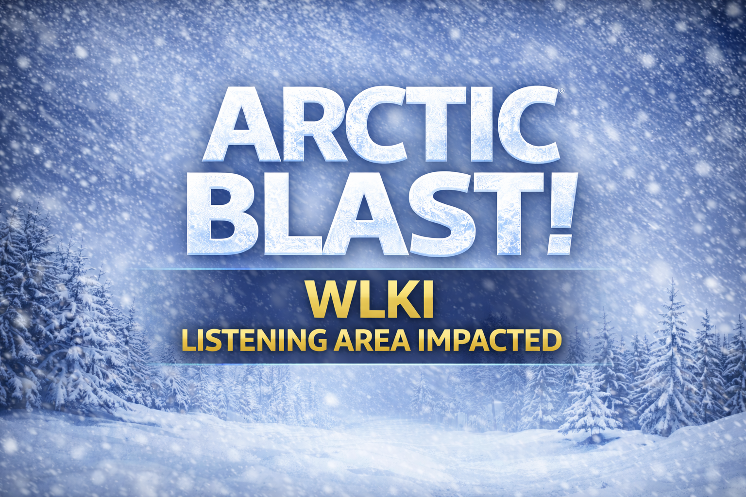
(ANGOLA) - Harsh winter weather will remain through the weekend in northeast Indiana, with forecasters warning of dangerous cold, biting wind chills, and accumulating snow through the weekend. Conditions are expected to deteriorate quickly in and around the WLKI listening area as Arctic air surges back into the region.
Residents are urged to clear sidewalks and driveways early, as temperatures are dropping into the teens overnight, making snow and ice harder to remove. Today will be seasonably cold, with highs in the 20s, but the true Arctic air arrives tonight, when lows fall into the single digits. Temperatures will struggle to recover Friday, topping out only slightly higher before plunging again to around minus 5 degrees Friday night, with wind chill values expected to dip near minus 20 degrees.
Next, attention turns to a large storm system expected to emerge from the Southwest and track across the southern United States and Mid-Atlantic. While the core of the system is forecast to stay south, it could clip the Ohio Valley and Great Lakes, including northern Indiana, while reinforcing the cold air already in place.
Saturday is expected to remain bitterly cold, with wind chills near minus 10 degrees. Snow is increasingly likely to arrive between Saturday evening and early Sunday morning. If the storm track holds, light snow could persist through much of Sunday. Because the snow is expected to be dry and powdery, accumulation may be more efficient and slower to melt than typical winter events.
Forecasters say it is too early to pinpoint exact snowfall totals, but a conservative estimate ranges from 2 to 4 inches. Some forecast models suggest totals could be significantly higher, though meteorologists want additional data before committing to heavier amounts.
The system is expected to move out by Monday, but cold air will linger, keeping daytime highs stuck in the teens and extending the stretch of wintry conditions into next week.